The pass in numbers
- Altitude
- 4,630 m / 15,190 ft
- Nevado Salkantay
- 6,271 m / 20,574 ft
- Crossed on
- Day 2 · 3–4 h climb
- Above Machu Picchu
- +2,200 m
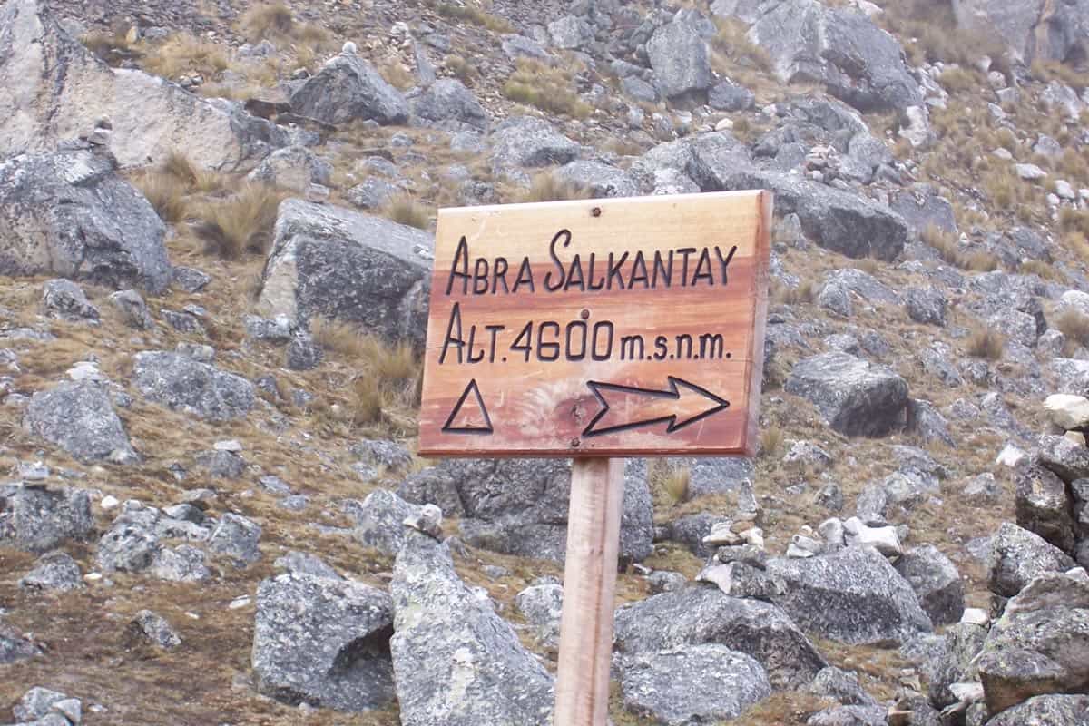
The Salkantay Pass — Abra Salkantay in Spanish and Quechua — is the dramatic high point of the entire trek. At 4,630 metres (15,190 feet) you stand face to face with the sacred Salkantay mountain, its glaciers towering more than 1,600 metres above your head. Of the four great highlights of the route, this is the one every trekker remembers first.
The highest point of the trek
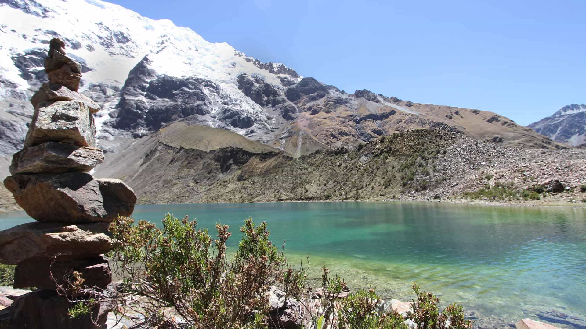
The pass is the single highest point you cross on the route. From here the panorama opens onto the surrounding glaciers and valleys of the Vilcabamba range — the reward for the long climb up from the base camp at Soraypampa, the same camp that serves the afternoon walk to Humantay Lake.
It is also far higher than Machu Picchu itself, which sits at just 2,430 metres (7,972 feet). On a clear morning the view takes in both the alpine tundra you have climbed through and the deep valleys you are about to descend into, with the Salkantay glacier filling the sky.
The sacred mountain: Apu Salkantay
The pass takes its name from the mountain that dominates it. Nevado Salkantay rises to 6,271 metres (20,574 feet), and the local Quechua people revere it as an Apu — a sacred mountain deity, one of the principal Apus that control the weather and the fertility of the region.
The name carries that reverence. “Salkantay” derives from the Quechua word Sallka, meaning wild, savage, or invincible — a fitting description for both the scenery and the challenge of standing beneath it. You do not climb over the mountain; you walk directly beneath its glaciated summit, face to face with the Apu.
Crossing the pass on Day 2
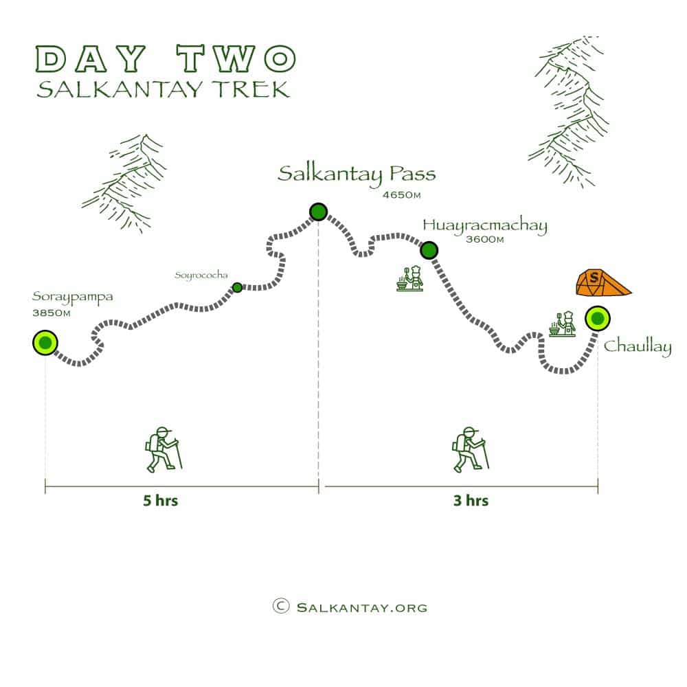
You cross the Salkantay Pass on Day 2 of the trek — the day most hikers remember most vividly. After an early start from Soraypampa, the trail climbs steadily for roughly 3 to 4 hours, moving from alpine tundra up into high Andean terrain as the air grows thinner.
Reaching the pass is a genuine summit moment: photographs, an apacheta stone cairn built up by generations of trekkers, and panoramic views of the surrounding glaciers and valleys.
Then the trail turns dramatically downward. From the pass it descends fast, alpine tundra giving way to high Andean grasslands — the first of the five ecosystems the trek threads together. By late afternoon you reach the second night’s camp near Chaullay or Collpapampa (about 2,900 m), where the air is noticeably warmer and the first Queñua trees appear. Two days further down the same descent, the route climbs to the ruins of Llactapata and its distant view of Machu Picchu.
Altitude at the pass
At 4,630 metres the air holds far less oxygen than at sea level, so the climb to the pass is the most physically demanding stretch of the trek. Altitude can affect anyone regardless of age or fitness, which is why acclimatizing in Cusco beforehand and ascending at a steady pace matter so much. Our altitude & acclimatization guide covers the full numbers, the warning signs, and exactly how to prepare in Cusco — and the honest difficulty grading puts the climb in context of the whole route.
For scale: the highest point of the classic Inca Trail, Dead Woman’s Pass, tops out at 4,215 metres — the Salkantay Pass beats it by more than 400 metres. See the full head-to-head comparison.
Stand at the pass yourself
The classic way to cross the Abra Salkantay is the 5-day Salkantay Trek, which builds up from Humantay Lagoon to the high pass and on through the cloud forest to Machu Picchu.